Fundamentals of Geographic Information Systems
Credit Hours: 3
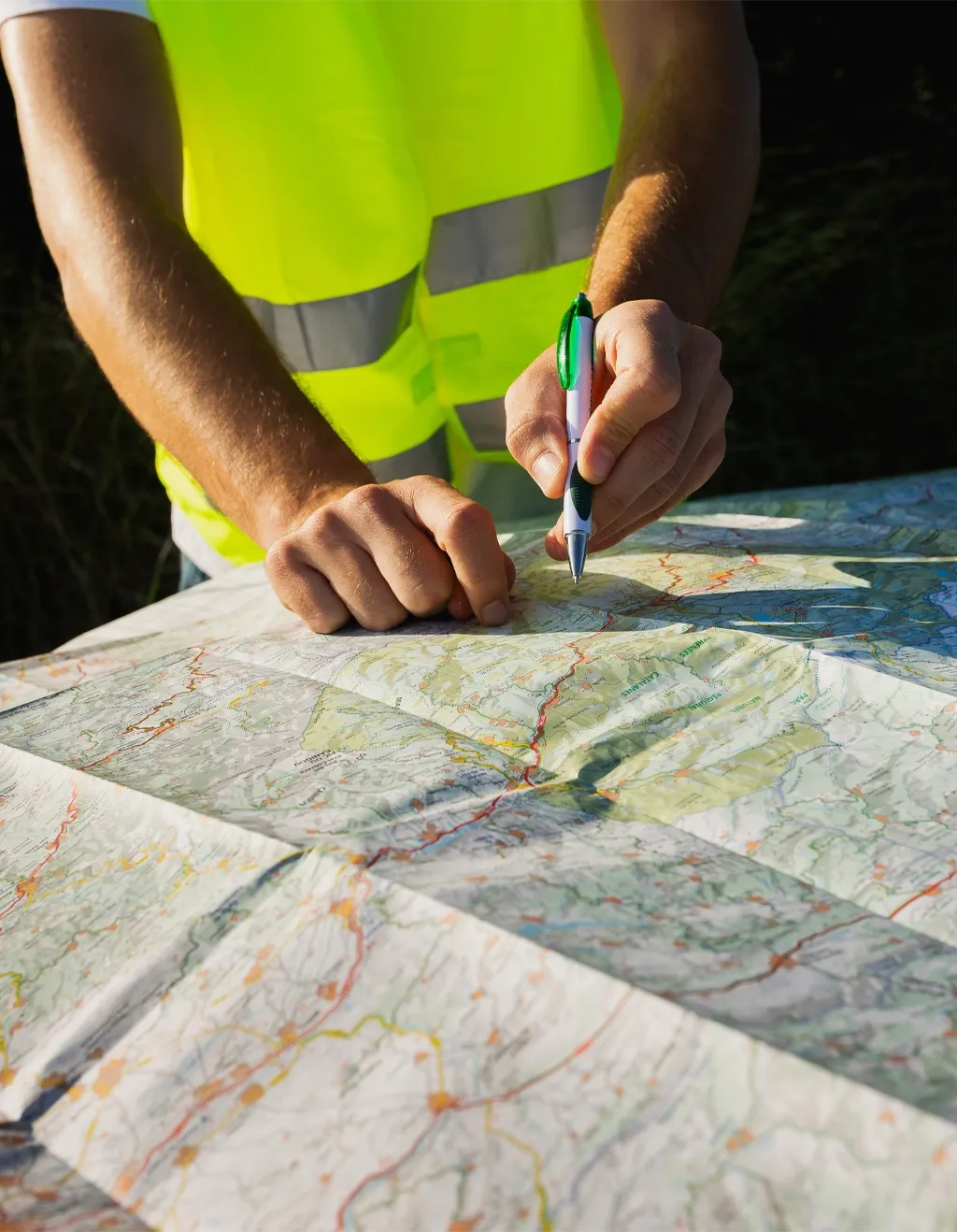
Designed to help students learn introductory to intermediate concepts of geographic information science (GIScience) and become proficient users of geographic information systems (GIS). The course covers a variety of topics but focuses on GIS data models, data structures, and spatial analysis. Teaching formats include lectures, in-class exercises, and lab exercises. No student may earn credit for both 4013 and 5013.
Fundamentals of Remote Sensing
Credit Hours: 3
An introduction to the basic principles of remote sensing, image acquisition, image processing, image interpretation, and its geographic and environmental applications. Labs involve the processing of satellite, airborne, and other geospatial data in an open-source cloud computing platform to explore the concepts taught in lectures.
Advanced GIS and Spatial Analysis
Credit Hours: 3
This course expands and solidifies the GIS knowledge acquired in introductory and applied GIS classes. It focuses on highly complex geographic questions that cannot be solved in simple steps but instead require advanced GIS analysis and automation using programming R. The course is intended to prepare the student for a professional GIS position in the government or business world or a higher-level graduate position.
Advanced Remote Sensing
Credit Hours: 3
This course will introduce students to advanced topics in digital remote sensing towards understanding the theoretical and conceptual underpinnings in both aerial and satellite remote sensing. Focus will be placed on advanced active and passive sensors characteristics, digital image analysis, and processing for advanced issues in remote sensing, including new frontiers in the discipline.
GIS Applications
Credit Hours: 3
Designed to help students learn intermediate and advanced concepts of geographic information science related to a variety of socio-economic and environmental fields. Course topics may include landscape ecology and metrics, suitability modeling, binary and ranking index models, routing and network analysis, and other topics applicable to social or environmental fields. Teaching formats include both lectures and lab exercises.
Spatial Data Management for GIS Professionals
Credit Hours: 3
The goal of this course is to develop introductory computer science skills and information management literacy for GIS professionals finding work in industry. Students will learn how to capture, create, validate, and maintain spatial data for use in a professional GIS setting, and become familiar with navigating federal, local, and private online GIS data repositories for future GIS work.
Digital Image Processing
Credit Hours: 3
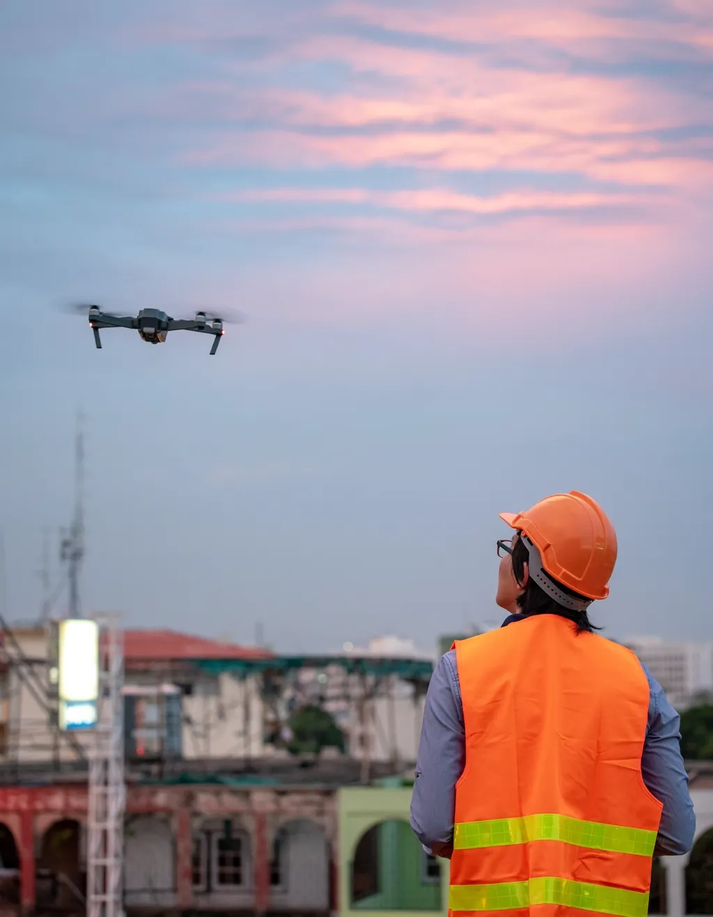
This course presents digital image processing techniques for sUAS (aka drones) derived and related optical imagery. It explores topics such as orthorectification, structure from motion (SfM), image analysis, and accuracy assessments, all in furtherance of geospatial activities.
Remote Sensing Applications
Credit Hours: 3
This course is designed to build on the Fundamentals of Remote Sensing towards helping students develop a strong understanding of the tools and techniques used to display, process, and analyze remotely sensed data. Students will learn how to develop analytical workflows to derive products and extract information from remotely sensed data for a broad range of applications.
Drones and Remote Sensing
Credit Hours: 3
This course will explore remote sensing fundamentals, drone technology, data acquisition, image processing, and integration of these technologies for environmental monitoring, disaster management, agricultural applications, urban planning, and more. Students will gain the skills necessary to operate drones, process remote sensing data, and apply these tools to real-world problem solving.
Spatial Programming and GIS
Credit Hours: 3
Introduces students to geocomputation concepts, spatial programming skills, and computational approaches to spatial data services and spatial problem solving.